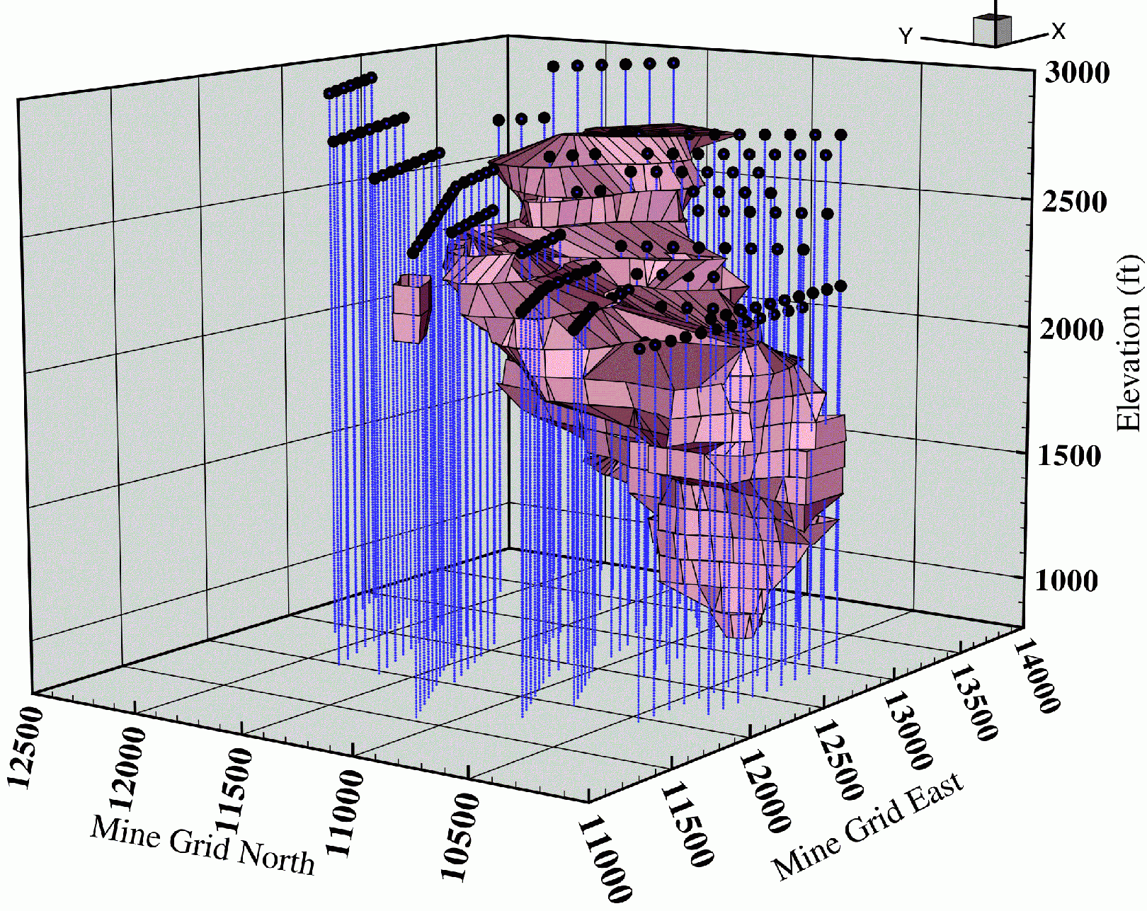
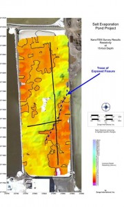
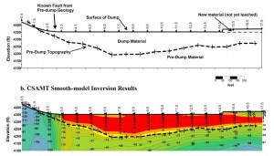
Best solutions for locating geomembrane leaks, contaminant plumes and other subsurface environmental impacts always involve geophysics.
Geophysical methods are unique…
in their ability to provide abundant information using non-invasive, minimal-impact technology.
Unlike limited, single-point data obtained from bore holes, geophysical methods can provide rich imagery of large areas— including between drill holes—at a fraction of the cost, and without the destructiveness of drilling.
Benefits of environmental geophysics at the planning table
Geophysical methods are effective at locating buried hazards, landfill limits and liner leaks, and are often engaged for these purposes. But in addition to determining the extent of an existing problem, geophysical services can enable knowledgeable, preventive planning from the onset of a project.
Cost-saving geophysics technologies are available to monitor ponds, heaps, and tailings dams for mining, power generation and other industries. With these technologies, operators and contractors have at their disposal a reliable picture of the geology and the ground properties that affect stability, contamination pathways and migration trends. Monitoring and mitigation efforts can take into account the subsurface reality.
Geophysical imaging can be used for…
- Competitive advantage in design and build proposals
- Supporting data for regulatory compliance
- Filling in gaps and underlying assumptions
- Designing and defending monitoring plans
- Corroborating hydrologic and geologic models
- Reducing dependency on test wells
- Developing effective mitigation and prioritizing expenditures


