
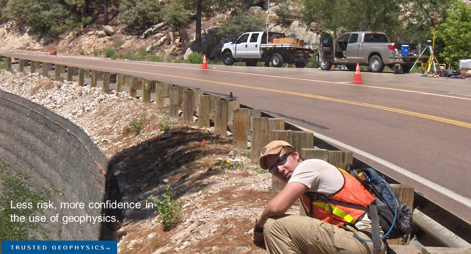
Geophysical data helps refine engineering design for reduced construction expense and public safety risk.
Avoid costly surprises; narrow in on solutions. Zonge engineering geophysics services provide insight of value to planning, regulatory compliance, groundwater monitoring, risk assessment, design and remediation — all with the use of non-destructive methods.
Engineering Geophysics Services
- Urban infrastructure, construction hazard and engineering design input: depth to bedrock, elastic properties, hazard discovery, site classification
- Non-intrusive methods for determining the integrity of dams, levees, bridges, mine tailings and impoundment structures
- Geophysics for wind-turbine generator foundation design
- Groundwater exploration and resource management geophysics
- AMT/CSAMT surveys for mining and groundwater applications
- Time-lapse monitoring of contaminant migration, mine sites,
CO2 sequestration, levee seepage and other hazards - UXO detection and discrimination
- More… see services relative to my problem >