Deep and near-surface, land and shallow-water seismic surveys for exploration and geotechnical needs
Zonge seismic capabilities and equipment advantages
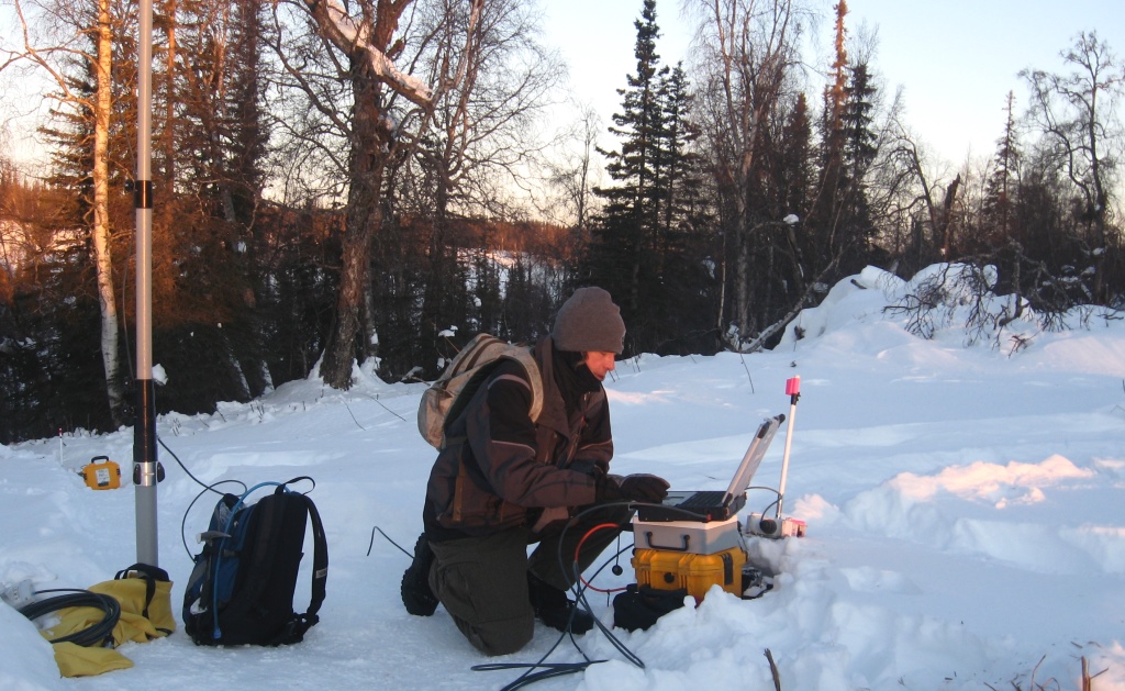
Zonge recently expanded seismic data acquisition capabilities for both exploration and engineering clients with major equipment investments, including wireless seismic acquisition systems and a rugged-terrain source truck. more >
Geotechnical and exploration seismic services
- Cost-effective seismic data acquisition, including in areas requiring low-profile investigations
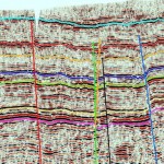
- Management of seismic data processing and modeling, with interpretation specifically for shale gas, mineral exploration and shallow-surface engineering applications
-
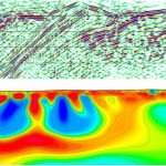
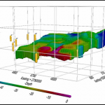
Layer-based and true 3D tomographic seismic data models incorporating borehole and ground-truth data
- Combined interpretation of seismic with EM and other data
- Refraction Micro-tremor (ReMi) and other surface-wave techniques
Applications of
seismic methods
- Geologic structure and lithology mapping for resource estimation
and identification of potential subsurface targets - Mapping subsurface water table in sediments
- Seismic monitoring during blasting or hydraulic fracturing
- Locating abandoned mines
- Wind turbine generator foundation design
- Imaging of soft soils and slide planes of active landslides
- Mapping depth to bedrock and providing elastic properties of
the subsurface for engineering design - Calculating the subsurface velocity profile
- Seismic hazard analysis for critical structures


