
Modeling Software Pack for Resistivity and IP
v4.70.i
Topography with Smooth-Model Resistivity and IP Inversion (TS2DIP)
Smooth-model inversion is a robust method for converting resistivity and IP measurements to smoothly varying model cross-sections. Dipole-dipole, pole-dipole, pole-pole, Schlumberger, and Wenner array field data may be input from Zonge, Geosoft or spreadsheet format files.
Use time-domain or frequency-domain data…
with lines up to 200 dipoles long and n-spacings between 0.25 and 100. The observed apparent resistivities are averaged to initialize a background resistivity model. Background-model IP values are set to one.
Weight constraints for geologic conditions.
Allows separate constraint parameters for vertical smoothness, horizontal smoothness and difference from an arbitrary background model. Increase the weight of vertical-smoothness constraints in areas with steeply dipping geology; increase the weight
of horizontal-smoothness constraints for flat-lying geology. Constraining parameters to stay close to
a background model is useful for incorporating surface geology or drilling results.
Resistivity and IP values in the two-dimensional model section are then iteratively modified until calculated data values match observed data as closely as possible, subject to constraints on model smoothness and the difference between background and inverted model values.
Enter topographic information to include terrain.
TS2DIP v4.2 uses a finite-element, forward-modeling algorithm that calculates apparent resistivity and phase values generated by 2D models to an accuracy of about 5 percent. When topographic profile information is added during setup, the finite-element mesh is draped over the terrain.
Includes GeoSoft and Surfer plot drivers
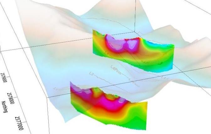
Inversion results are output into tabular ASCII files, which can be contoured and displayed with general purpose plotting packages. Plotter drivers are included for GeoSoft and Golden Software’s Surfer for Windows.
Two-dimensional Forward Resistivity and IP Modeling (2DIP)
nine dipole lengths deep.
Default electrode configurations for dipole-dipole,
Utilities provided with IP modeling programs
- CCINV CR to Cole-Cole inversion program
- S2DPLOT Color-Filled-Contour Plots of 2D Resistivity/IP Inversion Results
- MODSECT Color-Filled-Contour Plots of Inversion-Model Sections
- MAPDAT Interpolation to Plan-Map Data file